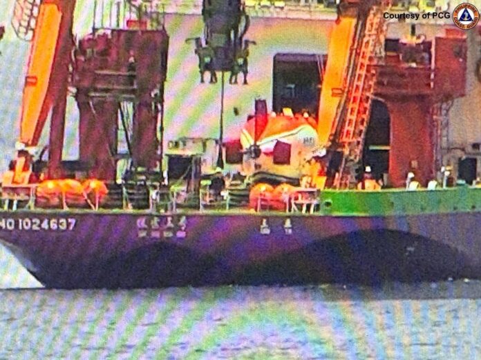
The Philippine Coast Guard (PCG) on Tuesday expressed concern over the presence of a Chinese research vessel near Ilocos Norte, describing it as “worrisome” due to its advanced deep-sea mapping capabilities that could facilitate submarine deployment.
According to PCG spokesperson for the West Philippine Sea (WPS) Commodore Jay Tarriela, the vessel identified as Tan Suo 3 was conducting unauthorized marine scientific research within the Philippines’ exclusive economic zone (EEZ).
“It’s worrisome in a way that it’s because these Chinese research vessels have the capability for deep-sea mapping. And there is a possibility that they are also doing this kind of deep-sea mapping in support of their submarine navigation,” Tarriela said in a mix of English and Filipino at a press conference.
“The only thing that is worrisome is because it has the capability for deep-sea mapping, which can be used for submarine deployment as well,” he added.
The PCG official also said the Chinese ship’s illegal activity within the Philippine EEZ is a security concern.
“The submarine deployment is also supported by deep-sea map location of our seabed. So in the security part, I think that’s the only concern for the marine scientific research, the illegal marine scientific research that they are conducting,” Tarriela said.


